| Equipment |
Specification |
Description |
|
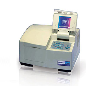
UV-VIS Spectrophotometer
|
- UV-VIS Spectrophotometer[Lab India, Hyderabad]
|
- Uses light in the visible and adjacent regions of EM spectrum
- The absorption or reflectance is relates to colour/ concentration of various chemicals
|
|
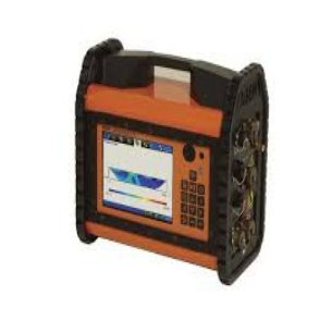
Earth Resistivity Meter
|
- Earth Resistivity Meter � SSRMP 1
|
- Ground water exploration
- Sand and gravel deposit identification
- Bed rock investigations
- Delineation of geological structures
- Resistivity sounding/profiling/imaging
|
|
Groundwater Level indicator
|
|
- To check the level of water in open wells and in bore wells
|
|
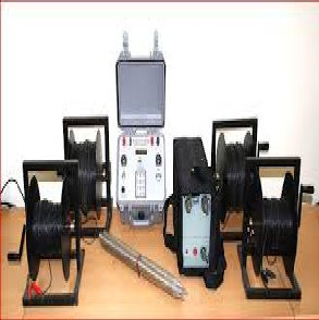
Multi-Channel Ground Imaging Resistivity System
|
- Multi-Channel Ground Imaging Resistivity System
|
- Groundwater resource management and vulnerability assessment;
- Geotechnical pre-investigation; Hydro-Geological mapping
|
|
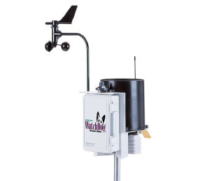
Automatic Weather Station
|
- Automatic Weather Station – 2 Nos [Spectrum Technologies Inc., USA]
|
- Estimates Evapotranspiration (ETo)
- Wind Speed and Direction; Rainfall
- Dew Point
- Solar Radiation
- Air Temperature
- Relative Humidity on user defined time scale(with Data logger)
|
|
Double Ring Infiltro-meter
|
- Double Ring Infiltro-meter [Kaizen Imperial, Delhi]
|
- To determine the infiltration rate of water into the soil and generate infiltration rate curves
|
|
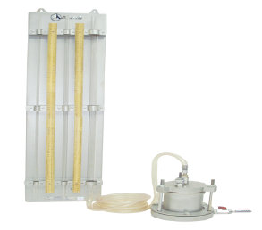
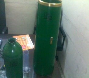
Permea-meter
|
- Permea-meter [Aimil Ltd., Delhi]
|
- To measure coefficient of permeability of saturated soils under constant and variable head conditions
|
|
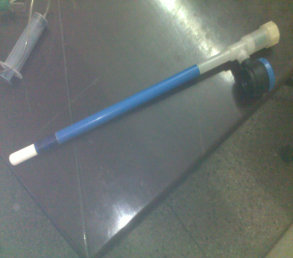
Soil Tensio-meter
|
- Soil Tensio-meter � 2 Nos [Kaizen Imperial, Delhi]
|
- To measure suction (negative pressure) of soil in the un-saturated zone
|
|
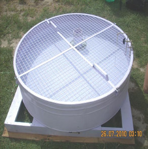
Open Pan Evapori-meter
|
- Open Pan Evapori-meter [Kaizen Imperial, Delhi]
|
- To measure the rate of evaporation of water into the atmosphere (as per IS:5973 :1970)
|
|
Rain gauge
|
- Rain gauge (Non-Automatic and Automatic) [Kaizen Imperial, Delhi]
|
- To measure rainfall depth / intensity (as per IS:5225/1535 :1969)
|
|
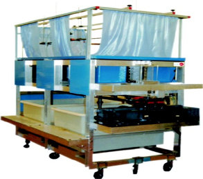
Rainfall Simulator and Irrigation System
|
- Rainfall Simulator and Irrigation System [Edibon International, Spain]
|
- Generate/demonstrate rainfall hydrographs; formation of river features
- Effects of sediment transport
- Abstraction of ground water by wells
- Hydrological principles of ground water flow
|
|
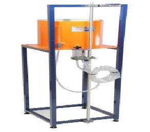
Soil Moisture Suction Unit
|
- Soil Moisture Suction Unit [Edutech India Pvt. Ltd]
|
- Understand the principles of water retentivity in terms of soil suction
- Relationship between water retentivity and soil
- Derive soil moisture variety of soils
|
|
Cup type Current-meter
|
- Cup type Current-meter [Kaizen Imperial, Delhi]
|
- To accurately measure stream flow velocities from 0.3 to 3.5 meters per second with cups (as per IS 3910 � 1966)
|
|
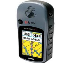
Handheld GPS
|
- Handheld GPS [Garmin GPS India]
|
- To get the geo-graphic co-ordinates of point / line / polygon features
|
|
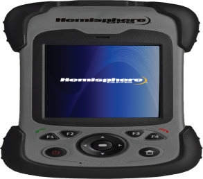
Handheld GPS � Data Controller
|
- Handheld GPS � Data Controller [XF-2, Hemisphere GPS Inc., Canada]
|
- To get the geo-graphic co-ordinates of point / line / polygon features
|
|
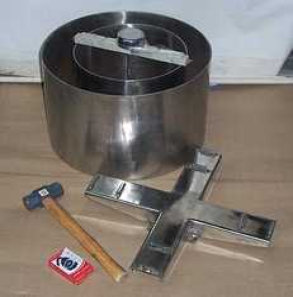
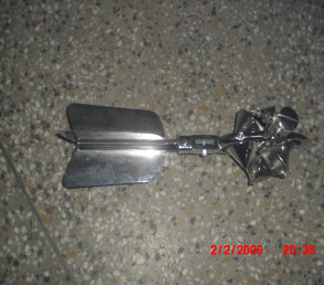
Sediment Core Sampler
|
|
- Take and analyze sediments at the bottom of canals, lakes, rivers, (bed and suspended)
|
|
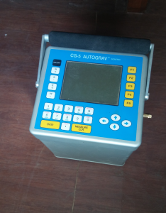
Gravity meter
|
|
|
|
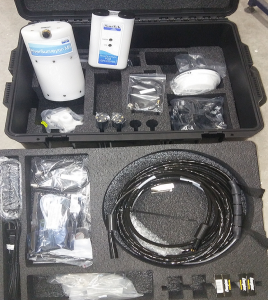
River Surveyor
|
|
|
| |
|
|
| |
|
|
| |
|
|